
By Dr. Calvin Campbell
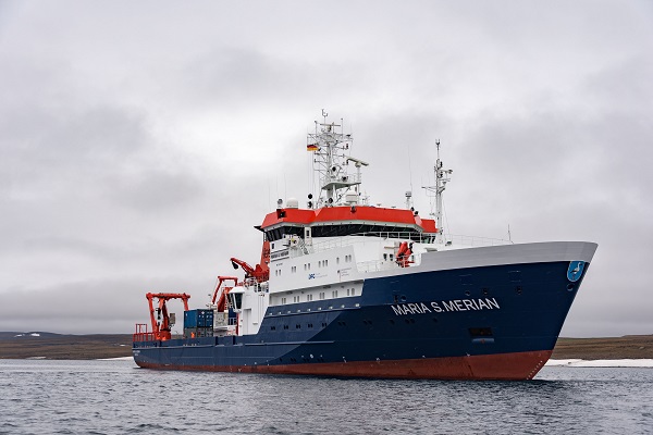
Photo: Research vessel Maria S. Merian. Photo courtesy Volker Diekamp, MARUM
Last summer, I accepted an invitation to participate on a research expedition to Baffin Bay on the German research vessel Maria S. Merian, lead by German chief scientist Boris Dorschel. The purpose of the trip (MSM66) was to study the deglaciation of the Laurentide Ice Sheet in this region by mapping and taking samples in various parts of Baffin Bay over a three-week period. Essentially, we wanted to collect evidence from the seafloor to gain a better understanding of how the last ice age ended.
The Laurentide Ice Sheet was a massive sheet of ice that covered most of Canada and the United States during the last ice age. Understanding how that ice sheet melted can tell scientists a great deal about the impact this process may have on climate change today. For example, in the north, three-quarters of Greenland is covered by an ice sheet. If it were to melt due to the warming of the planet, there would be dramatic climatic impacts, not only in the Atlantic region but in Europe as well. That is one of the reasons why the Arctic and subarctic regions are of great interest to scientists across the globe. And MSM66 was a great opportunity to foster a closer Canadian-German working relationship for the advancement of marine geoscience in this area.
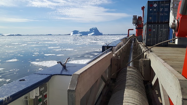
Photo: Gravity core awaiting deployment, Melville Bay. Photo courtesy Calvin Campbell
In addition to increasing Canadian-German collaboration, this expedition was a teaching opportunity for up and coming scientists. This cruise was part of the ArcTrain program, an international program to train student scientists about issues related to climate change in the Arctic and subartic regions. We sailed with 24 ship staff and 22 science staff, all but four of them were doctoral or post-doctoral students from universities in Germany, Denmark and Canada.
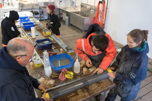
Photo: Processing cores. Photo courtesy Volker Diekamp, MARUM
The operations on MSM66 involved mapping the seabed using multibeam bathymetric sonar and sub-bottom profiler systems, then sampling using a giant gravity corer (up to 16 m in length) and a box corer. Between sampling periods, all cores were scanned by the multisensor core logger (MSCL), split, subsampled, described, and photographed. Downcore plots/digital descriptions of off all cores were completed during the 3 day transit at the end of the cruise. I was assigned to the “geo” team, so I assisted with sampling, ran the MSCL, split and logged cores, and contributed to expedition planning. This is highly technical work that is necessary to collect and organize the data we need to advance our understanding of what the Laurentide Ice Sheet left behind.
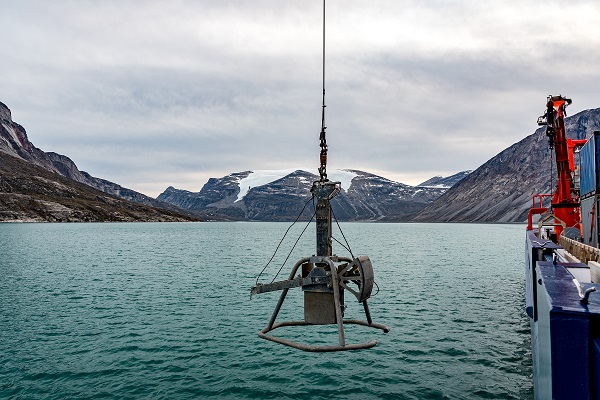
Photo: Deploying Box Corer in Clyde Fjord. Photo courtesy Volker Diekamp, MARUM
Preliminary results indicate that MSM66 was a great success. The survey efforts approximately doubled the existing multibeam coverage in Baffin Bay. The data reveal new information about the late glacial and post glacial history of Baffin Bay, as well as glaciomarine, subglacial, and fjord processes. These data should support several graduate theses and will lead to increased collaboration between Canadian and German researchers. The data will also be valuable for other studies related to seabed processes, geological hazards, benthic habitat, and fisheries. All of this information contributes significantly to our scientific knowledge with respect to the end of the last ice age, which will go a long way to help inform how future climate change processes may impact our planet.
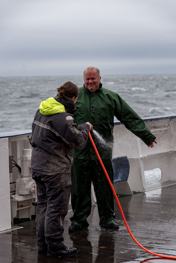
Photo: Dr. Calvin Campbell getting hosed off at the end of the cruise. Photo courtesy Volker Diekamp, MARUM