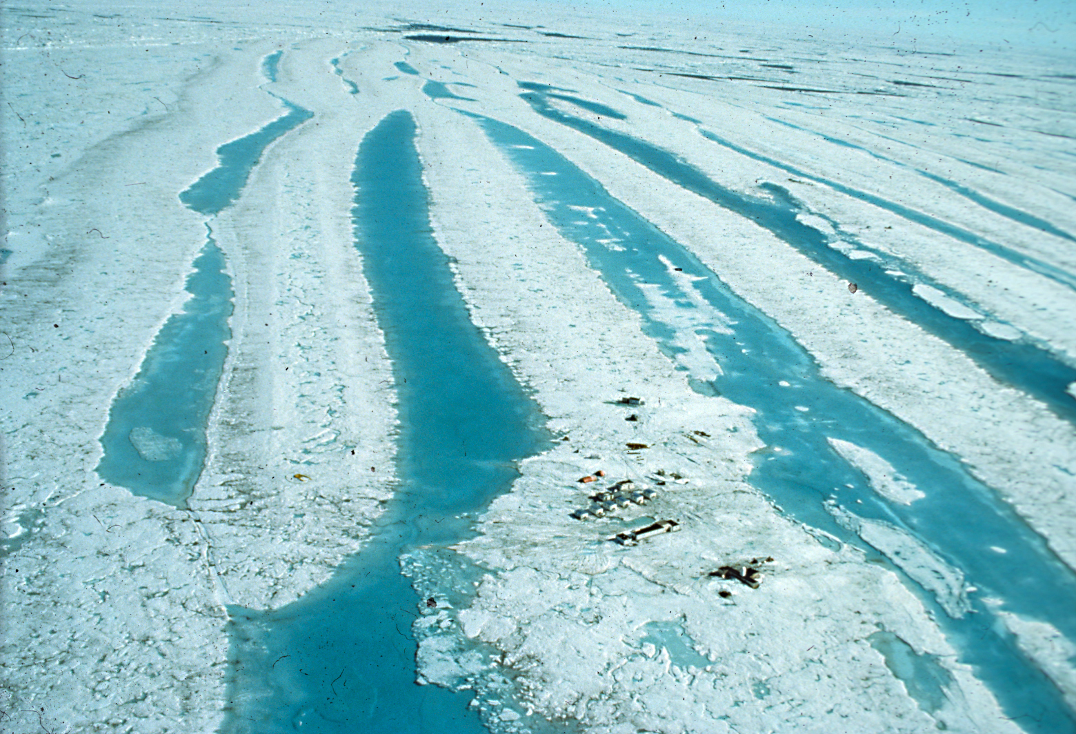
Until 1985 anywhere north of Axel Heiberg Island was terra incognita because permanent pack ice prevented passage for ships. To explore this last frontier, the Polar Continental Shelf Project (PCSP) built a science camp on a 24 square kilometre, 45 metre-thick tabular iceberg that was drifting west toward the Beaufort Sea.
From 1984 to 1989, this floating ice island became Canada’s most extraordinary ocean vessel, with 40 scientific program leaders using it as a year-round platform from which to map the seafloor and study the geology, oceanography, and ice conditions of the continental shelf. And like all ocean vessels, the ice island had a name – Hobson’s Choice after PCSP director George Hobson who had selected it.
The ice island sparked new ways of doing science. For example, Geological Survey of Canada scientists had to devise innovative ways to melt through the thick ice for water and seabed sampling. It let them collect the first year-round data from this remote part of the Arctic, discover the shallowest known Arctic sponge reefs, and, through sediment records, the first signs of ocean warming. It also supported critical seismic reflection experiments that mapped the structure, offshore extent, and petroleum potential of Canada’s northernmost territory.
Category: Fieldwork
Decade: 1980s