
Enabling advancements in Ocean Forecasting
Canada’s weather forecasts formerly relied solely on meteorological data. However, the earth’s atmosphere and oceans are coupled together to form weather systems and climate processes. As more ocean data is becoming available, it is possible now to extend computer models used for weather forecasting to take into account interactions across the marine boundary layer by using computer models of the ocean and sea ice as well. Using computer models of the atmosphere, ice and ocean together provides forecasts of future conditions and historical information to improve the accuracy of Canadian weather forecasts and deliver information on storm surges, wave heights, ice conditions, etc.
The reliability of ocean forecasting services begins with the large amount of input ocean data available. This input data includes sea level and surface temperature observations from satellites, upper-ocean water mass properties from Argo floats, moored arrays, shore based high frequency (HF) ocean surface radar, drifting buoys, and data collected by ships of opportunity.
A Collaborative Initiative Developing a Suite of Oceanographic Prediction Systems
Science and operational staff at three federal departments (Fisheries and Oceans Canada, Environment Canada, Department of National Defence) are working together under the initiative titled “Canadian Operational Network of Coupled Environmental Prediction Systems” (CONCEPTS) to develop and implement coupled computer models. These models are used together with sophisticated mathematical systems to incorporate the observations and provide the best numerical estimate of ocean and ice conditions in the past, present and future, while also working closely with university experts to access the latest research in the field.
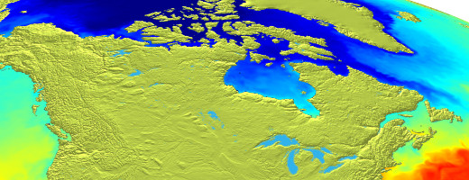
Together these GoC Departments are developing a suite of oceanographic prediction systems that can be coupled to atmospheric and wave forecasting systems or run separately. The first system developed is an atmosphere-ice-ocean prediction system for the Gulf of St. Lawrence, which produces daily estimates of the ice ocean conditions and 48 hr forecasts four times a day. A Global Ice Ocean Prediction System (GIOPS) is now in place to provide estimates of sea ice and ocean conditions and daily 10 day forecasts over the world’s oceans. The Regional Ice Ocean Prediction System (RIOPS) provides estimates of sea ice and ocean conditions and daily 48 hr forecasts over the Arctic and North Atlantic oceans. Several other systems are in development to provide detailed information along all Canadian coastlines and over the Great Lakes.
Links and Partners
- Argo
- AVISO
- Beaufort Regional Environmental Assessment (BREA)
- Web services offered by the Canadian Hydrographic Service
- Canadian Ice Service (CIS)
- Collecte Localisation Satellites (CLS)
- Copernicus
- CORIOLIS
- Meteorological Service of Canada Datamart
- Environment and Climate Change Canada Weather Office
- GODAE OceanView
- Government of Canada (GoC)
- Group for High Resolution Sea Surface Temperature (GHRSST)
- International Arctic Buoy Programme (IABP)
- Joint WMO-IOC Technical Commission for Oceanography and Marine Meterology (JCOMM)
- MétéoCentre
- Polar Prediction Project (PPP)
- St. Lawrence Global Observatory (SLGO)
- World Weather Research Programme WWRP
- Marine Environmental Data Section