The Geological Survey of Canada was an early adopter of computer technology, with the first computer, an IBM 1620, used by Survey scientists in 1962. Survey geochemists quickly embraced the new technology to help map the chemistry of Canada’s rocks, soils, sediments, and vegetation to support industry exploration for new mineral, and oil and gas resources.
Field and location data, and laboratory analytical data, were entered on forms designed so that the information could be transferred to 80-column punched, Hollerith cards for input into the computer. This permitted paper maps to be prepared on a 36-inch Calcomp drum plotter, and statistical studies to be undertaken.
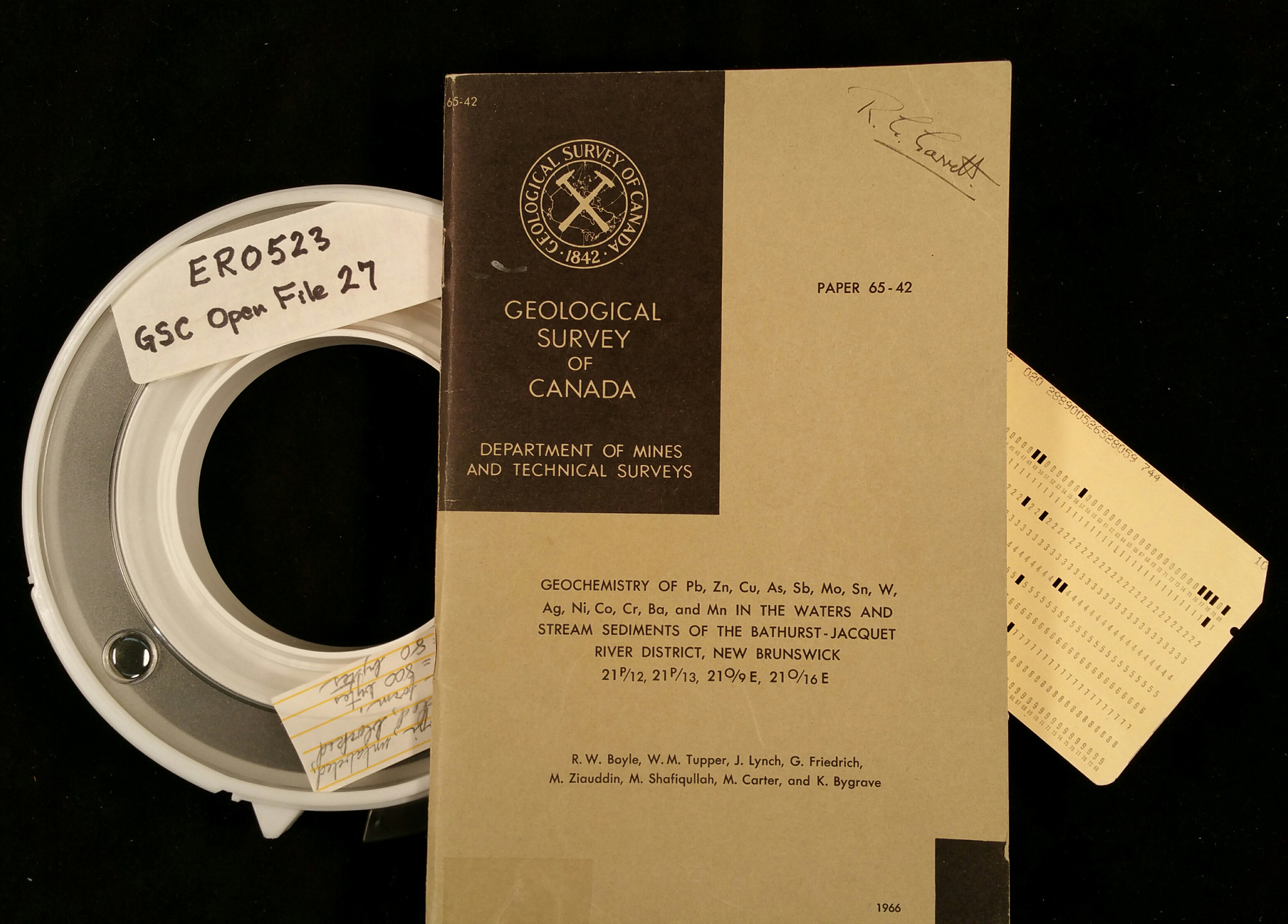
In 1965, the Survey undertook a stream-sediment and water survey in New Brunswick’s Bathurst area to address industry concerns that the mines in this important mining district were running out of ore. Some 3500 sites were sampled and analyzed. The resulting maps were released in 1966, and spurred much prospecting activity. Due to the ongoing interest in the data, the Survey made them digitally available in 1970 as a nine-track magnetic tape as part of its Open File series, making it the Survey’s first digital Open File.
Category: Publications
Decade: 1970s
References
Boyle, R.W., Garrett, R.G., and Tupper, W.M., 1970. Analyses of stream sediments of the Bathurst-Jacquet river District, New Brunswick, magnetic tape and sample location map; Geological Survey of Canada, Open File 27, 1 magnetic tape.
Canadian Database of Geochemical Surveys. http://geochem.nrcan.gc.ca/cdogs/content/main/home_en.htm