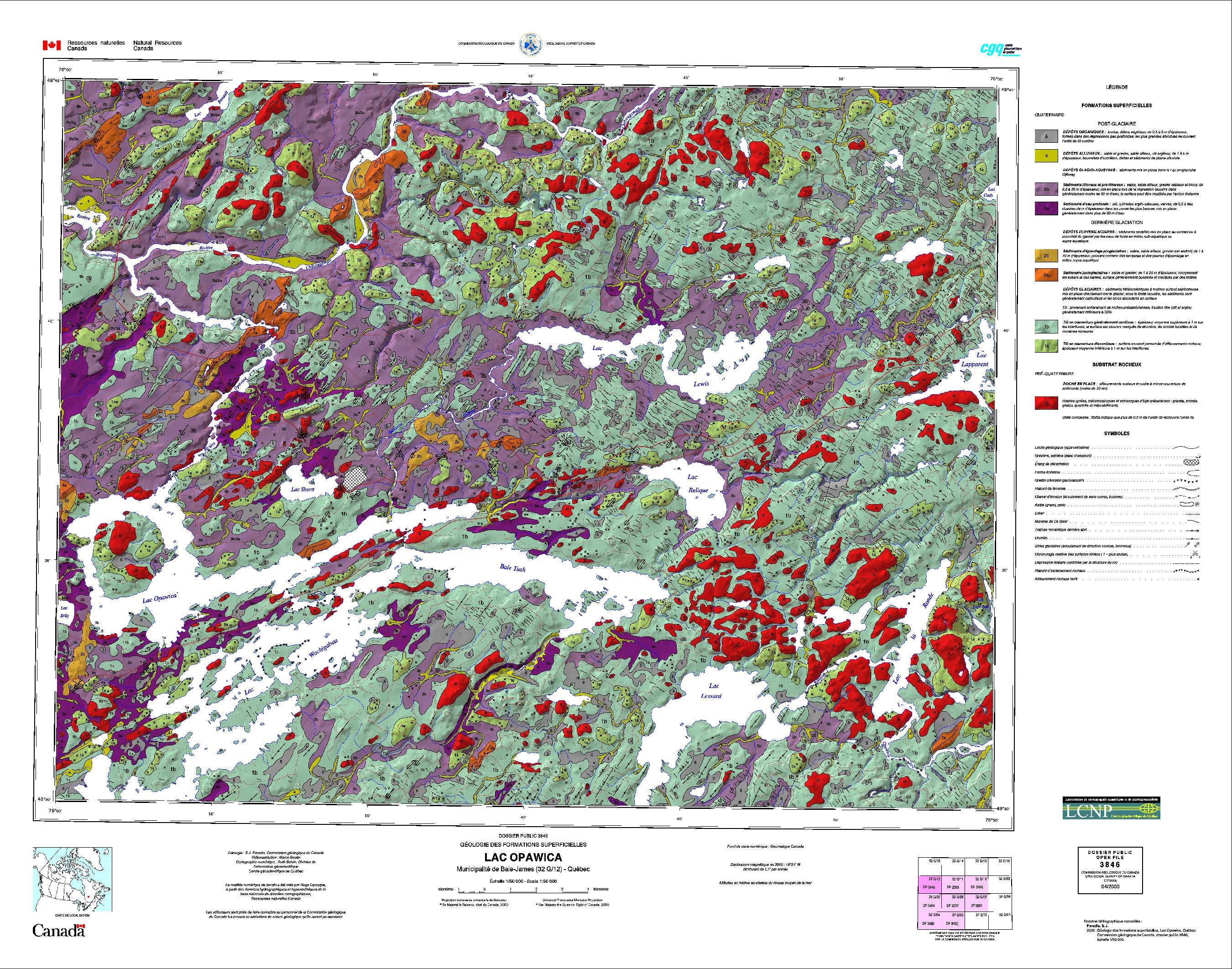
The geographic information systems (GIS) that make it possible to obtain, organize, manage, and process vast spatial datasets have changed the way in which geological maps are produced, and how the associated data are shared. In 2000, the Geological Survey of Canada, using two and a half dimensional (2.5D) techniques, developed a new procedure for producing shaded relief maps, increasing the topographical rendering.
The 2.5D model makes it possible to create a shaded relief using a digital terrain model, taking into account the relative position of the sun, shadows, and vertical exaggeration. The resulting visual impression of topographical relief increases map readability. It has also been useful in producing bedrock geology maps that can emphasize structural elements, or geological or lithological characteristics.
The first Survey map produced using the 2.5D technique was a 1/50,000 scale map of the surficial geology of Opawica Lake in northern Quebec. The surficial geology was superimposed on a shaded elevation model, producing a map that gives the impression of relief, showing the quaternary deposits based on terrain morphology.
Category: Maps
Decade: 2000s